Saturday, August 18, 2018, 09:40 AM - Trips
I took trip to beautiful local area near South Ponte Verdra Beach, and I stopped buy the visitor education center at the GTM Reserve.We then spent some great time on the beach, this is wonderful beach to explore especially among all the surrounding development.
The beach here is relatively undeveloped, as pristine as you could expect costal area to be now days. Very reminiscent of my child hood growing up in South Fl. beach here is similar to breaches in Miami Ft Lauderdale area.

[SNIP FROM THERE SITE]
Overview
Location: South Ponte Vedra Beach
Length: 9 mile loop with cross and connector trails
Lat-Long: 30.0229, -81.3291
Type: Loop
Fees / Permits: entrance fee
Difficulty: easy to moderate
Bug factor: moderate
Restroom: At nature center
Open 8 AM to sunset
Be sure to visit the interactive visitor center before your hike. It’s a great place to orient yourself to the habitats of this unique chain of islands.
Directions
From St. Augustine, follow A1A north from San Marco Blvd through Vilano Beach into South Ponte Vedra Beach; the park entrance is on the right after 9.5 miles. Drive to the far end of the parking area and walk down the road across the dam to the treeline to find the trailhead.
Hike
Start with a visit to the nature center near the entrance to the park for an overview of the complex ecosystems found along these barrier islands. There are many trails to explore, all named and blazed by color. The outer loop is a 9-mile hike, and you have the option to connecting to more trails in the adjacent Guana River WMA. Camping, however, is not permitted in GTM Reserve.
At the kiosk at the dam, sign in at the trail register. Markers designate each trail junction, making it easy to follow the loop. Turn left at Marker 1 onto the Purple Trail, which follows an old forest road through the shade of the maritime forest. After a mile, the Guana River comes into view beyond the trees. You reach a bench and Marker 2 at 1.8 miles; behind it is a large Timucuan midden and, in the woods, the remains of La Natividad de Nuestra Senora de Tolomato, the first Spanish mission in the New World.
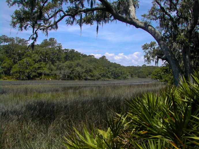
Turn left and follow the Red Trail, which eventually leads into a stand of cedars near the shore. At Marker 11, after 3.1 miles, turn left at the T and walk down to the end of the peninsula, where fiddler crabs scurry into their holes. The trail ends at a loop. Return to Marker 11 and take the left fork. The trail narrows along bluffs above the Tolomato River. Reaching Marker 9 at 4.7 miles, you find a bench and intersection with the Purple Trail. Keep left to walk parallel to the salt marshes, on the edge of the peninsula. Tall magnolias shade the path. At the junction with the Yellow Trail, take this side trip down to Shell Bluff. Here, you can see across the river to another hiking destination, Stokes Landing Conservation Area, and may catch a glimpse of dolphins or manatee in the river.
Retrace your steps and turn left onto the Blue Trail at Marker 6. A marker with a butterfly directs you down a short side trail to a scenic view of the salt marshes. Return and continue on the Blue Trail. As you pass the Orange Trail at Marker 5, more side trails lead to scenic views. Coastal flatwoods meld into scrubby flatwoods as you approach the fence with Guana River WMA. Follow the Orange Trail to the next trail junction, at 8 miles, and take a side trip on the Gray Trail into the WMA long enough to see the beautiful freshwater savannas at Big Savanna Pond and the wading birds they attract. Back on the Orange Trail, a boardwalk leads you across wetlands beneath the pines. At the forest road, turn right, and you soon reach Marker 1, the end of the loop. Turn left to exit to the parking area.
 Avatar